For what reason is remote sensing used?
Remote sensing and GPS introduction for Agribusiness fundamental element for now-a-days. Remote sensing and GPS introduction for agribusiness may help managers for decision making. Remote sensing is a tool for collecting, without any direct interaction with, knowledge about various objects on the earth.
What is remote detection?
Remote sensing is an adversary of technology that samples electromagnetic radiation to collect and interpret non-immediate geospatial data from which it is possible to collect and interpret more or fewer features and artifacts on its land surface, oceans, and air.
-Dr. Nicholas Short
Remote Sensing Advantages
- Provides a viewpoint for a wide area
- Geo-referenced information and digital information offerings
- In every season, every day, every time, and even in really tough weather, most remote sensors operate
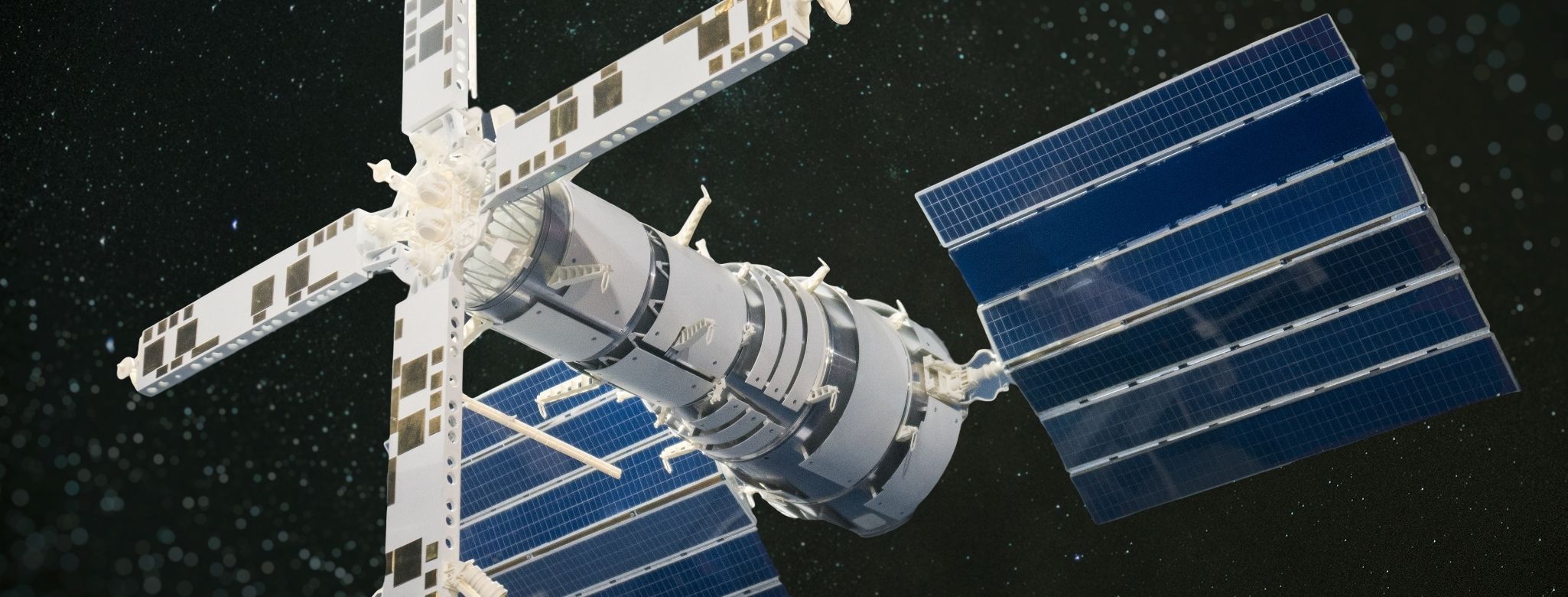
A Global View is provided by Satellites
What do you get from satellite imagery?
-Land cover, land use, habitat, landscape, and infrastructure details
-several commitments by time series
-Mapping and recording changes and forecasting future changes
Remote Sensing Application for Urbanization & Carriage:
- Urban development
- The network of roads and planning of transport
- City extension
- Boundaries of cities by period
- Delineation of Wetland
Remote Sensing Application for agriculture
Remote sensing applications in agriculture include:
-Sensing of the soil
– Classification of the Farm
– Assessment of farm condition
-Estimate of Agriculture
-Mapping the characteristics of farms and agricultural land
-Visualization of procedures for land management
– Monitoring of Compliance
Remote Sensing Application for the Control of Natural Resources
- Forestry: biodiversity, forests, deforestation
- Management of water supplies
- Study of habitat
- Environmental appraisal
- Outbreaks of pests/diseases
- Impervious mapping of surfaces
- Hydrology
- Mineral province
- Geomorphology
Remote Sensing Application for the uses of land
Land cover means any land surface cover that may include vegetation, urban infrastructure, water, lake, mountain, transport networks, houses, or any other. The characteristics measured by remote sensing techniques are connected with a land cover that can be inferred from land use, especially with ancillary or a priori cognition data.
Mapping with
It can be so efficient and useful to generate different maps from remotely sensed data. For mapping, a classification of sensing components and methodologies to generate these remotely sensed models is important. Two primary methods of generating elevation data are:
- Techniques of Stereogrammetry by Air Photos
- Interferometry with Radar
What is GPS?
The Global Positioning System ( GPS) is a space-based navigation system that continuously transmits coded information, enabling satellite distance measurements to be used to accurately locate positions on Earth or close to Earth.
GPS characteristics
- Complimentary with
- Accurately Correct
- Worthy of Trust
- Weather Something
- Anytime and anywhere
- For users, unlimited space
Facts from GPS
- Established as a military navigational instrument by the Department of Defense.
- In the early 1970s, Systems’ birth was
- 24 High-altitude satellites (11,000 miles) First satellite launched in 1978 First satellite launched in 1978
- In April 1995, fully operational became
- Useful day & night-rain or shine
- Radio Waves Use
- Precision varies on the device, with some being precise to a centimeter.
#agro_research_international
Contact:
If you have any questions, thoughts, or suggestions, please contact us or join our social media networks.
Email us: agribusinessedu@gmail.com, info@agribusinessedu.com
Feel free to comment:
Your email address will not be shared with anyone.
Join our LinkedIn group
https://www.linkedin.com/groups/13943442/
Join our Facebook group
https://www.facebook.com/groups/agribusinesseducationandresearchinternational
You may read:
Agribusiness operational decision-making tools – Agribusiness Education and Research International
The Dollar Crisis and Agro Enterprise Management – Agribusiness Education and Research International
https://agribusinessedu.com/why-is-market-information-important/
Agribusiness value chain in Southeast Asia – Agribusiness Education and Research International
You May Read: What are the Characteristics and Traits of an Entrepreneur? – Agribusiness Education and Research International
You may read: Agribusiness how it works? – Agribusiness Education and Research International
You may read: Covid -19 Pandemic Impact on Agribusiness – Agribusiness Education and Research International
You may read: What is Agribusiness? – Agribusiness Education and Research International
You may read: Agribusiness in Bangladesh – A Basic Introduction – Agribusiness Education and Research International
You may read: Organic Agriculture Introduction – Agribusiness Education and Research International
You may read: What is Sustainable Agriculture? – Agribusiness Education and Research International
What is Permaculture? – Agribusiness Education and Research International
E-Commerce and Supply Chain Finance – Agribusiness Education and Research International
What is Supply Chain Finance? – Agribusiness Education and Research International
What is an agile supply chain in Agribusiness? – Agribusiness Education and Research International
What is Supply Chain Management in Agribusiness? – Agribusiness Education and Research International
Supply chain management and Agribusiness – Agribusiness Education and Research International
Factors Affecting Supply Elasticity – Agribusiness Education and Research International